

Nature (weather)
Noorwegen
Joined February 2017
- Tweets60.9K
- Following242
- Followers17.9K
- Likes49.4K






AllNature retweeted

The new November data for Winter 2026/2027 takes another step toward a colder and snowier pattern across a large part of the United States, while Europe stays in the mild Super El Niño influence.
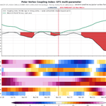
But two major models now show a potential Polar Vortex disruption in mid-winter, and that could change the second half of the season on both sides of the Atlantic.
severe-weather.eu/long-range…


AllNature retweeted

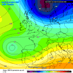
Significant rainfall on top of already significant rainfall!
Past 72 hrs & upcoming total accumulation through Mon 23rd!
Potentially disasterous flood situation!


AllNature retweeted

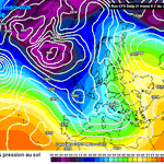
Beaucoup de pluie entre Portugal et sud de la France !
La dépression #Charles circule en ce milieu de semaine et jusqu'à jeudi dans le Sud-Ouest de l'Europe.
Au menu, des cumuls de pluie pouvant dépasser localement 100 mm et du vent fort (rafales loc. > 100km/h).


AllNature retweeted

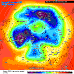
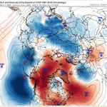
Key to the 10–15-day forecast is the ridge centred over the Beaufort Sea and Alaska. This feature is strong on the GEFS and ECMWF AI, but much weaker on the ECMWF ENS, resulting in substantial differences in the extent of Arctic air.


AllNature retweeted

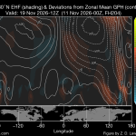
Global mountain torque just smashed the old record in my CORe analysis going back to 1968, exceeding it by a full standard deviation! East Asia and the Andes supplied most of the positive torque, transferring angular momentum from the solid Earth to the atmosphere as the AAM tendency carried the GWO trace off the right edge of the phase diagram. Twin upper-level anticyclones over the eastern tropical Pacific are consistent with persistent El Niño heating, while strong Pacific westerlies in both hemispheres help guide vigorous downstream Rossby wave dispersion.
Synoptic dynamics appear to be driving the next round of ridge growth. Around Nov. 19–21, ECMWF and its ensembles predict higher-θ air extending poleward along the dynamic tropopause on the eastern flank of a Pacific trough as the ridge amplifies over western Canada. Some guidance extends the ridge into Alaska. An active Pacific storm track could continue beneath the ridge, and the reach/intensity of any cold surge will depend on the downstream trough and the quality of the cold air it can tap. If the stratospheric disturbance couples more strongly to the troposphere, it could favor more persistent high-latitude ridging later in November and into December.


AllNature retweeted

Analogs years of 1952 and 1956 are good one. A close match with -EPO and -PDO between 20th-30th of November's are similar to my map I had out. Both brought accumulating snows in the Plains and Ohio Valley during this period. I still believe we see Thanksgiving week.


